Building date: 1849 - 1949, demolished
Original use: Schoolhouse
Corner structures:
Mortar application and content:
Types and uses of stones:
Types and choice of windows:
Structures with similar masonry details:
Masons who worked on building:
Unique features:
Map views courtesy Google Maps. Address is Google Earth confirmed; 42°20'54.07"N 85°04'58.40"W.
Pennfield Township and Calhoun County Maps.
Abandoned cobblestone school house (1849) southwest of Olivet, Mich., 1960s. Richard Palmer blog.
Editor's Note: Thanks to Tom M. Johnson, Chair of the "Michigan One Room Schoolhouse Association" for confirming the location of this cobblestone schoolhouse. Email 12/31/2019
- "Cobblestone Masonry", 1966, Carl Schmidt: Name reference, Schoolhouse
- Page 216
 Olivet Michigan schoolhouse 1849.jpg ¹ | 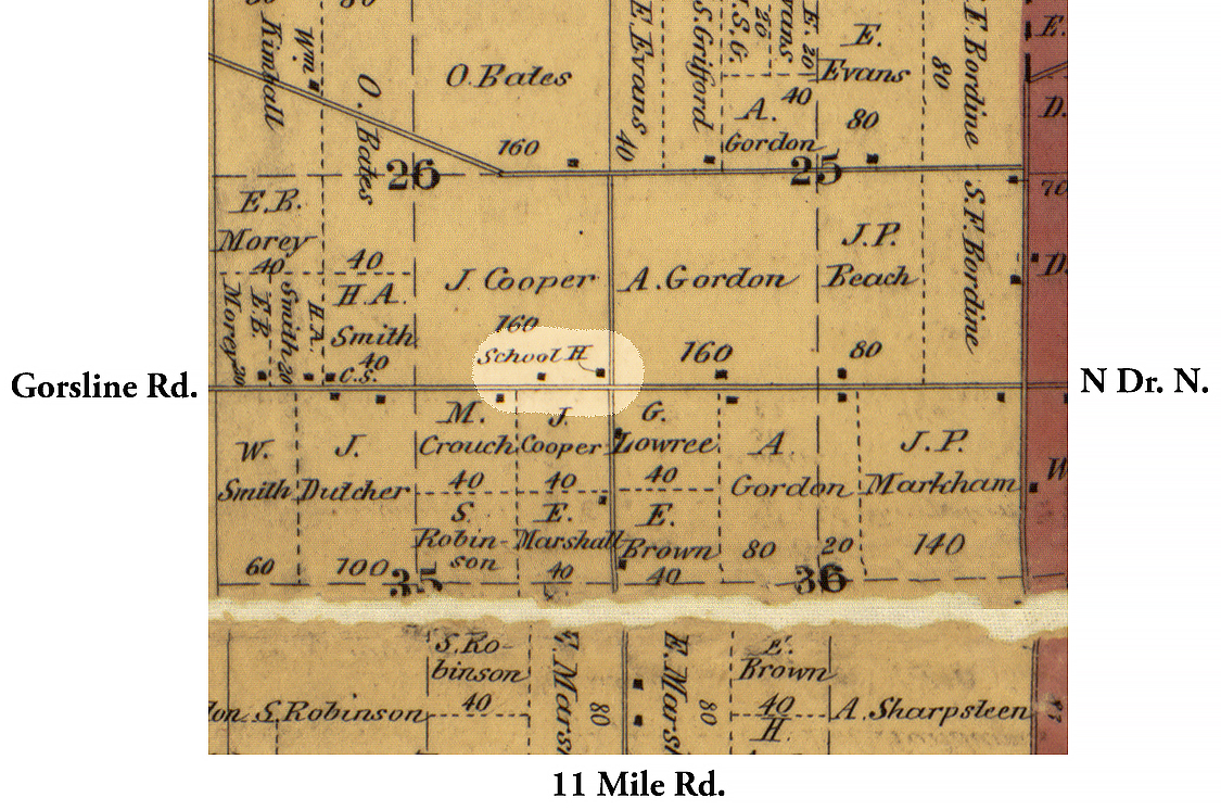 1858 Calhoun County MI Pen-1 Excerpt Map.jpg ² |
¹ Image courtesy Richard Palmer blog. Attribution not provided.
² 1858 Calhoun County Michigan Map excerpt courtesy Library of Congress
³ Book excerpt courtesy History of Calhoun County, Michigan": A narrative account of its historical progress, its people, and its principle interests, by Washington Gardener, 12/1/1913, Lewis Publishing Company. Available in print, or free ebook through Books on Google Play.
